The mines of Lalevade
Description
Departure at the sign "INFO RANDO", on the square of the town hall.
1 Go up the street and turn left towards the rue des écoles to the stadium
2. Go up the street that runs along the stadium, pass in front of the barracks of
the fire station.
3. Shortly after, leave the road to take the track on the left that engages in
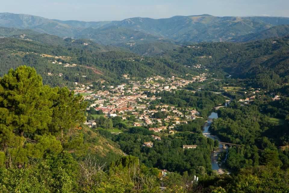
pines and then chestnut trees. You will observe a very beautiful panoramic
view of the Salyndre valley and the village of Prades. Continue up the trail to
the hiking post Martinesche.
4. You are in Martinesche, follow the trail on the right. Continue the path to
rejindre the hamlet of Terrisses.
5. Cross it from the left and take the trail on the right. Pass in front of the
cemetery
6 At the intersection of Rue des Écoles, turn right. Walk past the church and
reach the starting point.
- Departure : Car park of the city hall
- Arrival : Car park of the city hall
- Towns crossed : LALEVADE-D'ARDECHE and PRADES
Forecast
Altimetric profile
Recommandations

Information desks
Tourism Office
2 place du Bosquet, Neyrac les Bains, 07380 Meyras
Access and parking
Aubenas, take the N102 to Lalevade d''Ardèche. Thueyts, take the N102, cross Pont-de-
Labeaume then Lalevade d'Ardèche.
Parking :
Report a problem or an error
If you have found an error on this page or if you have noticed any problems during your hike, please report them to us here:

