From the Meyras medieval centre to Hautsegur castle

MEYRAS
From the Meyras medieval centre to Hautsegur castle
Easy
2h
5,4km
+186m
-186m
Loop
PR
Embed this item to access it offline
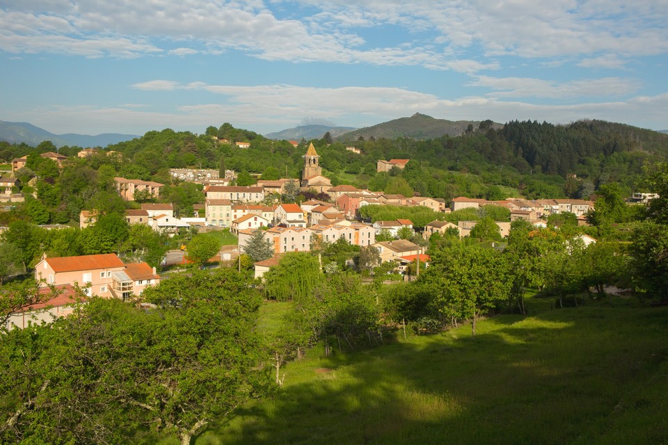
This loop that goes from the picturesque village of Meyras will make you discover it rich medieval heritage.
Description
- Departure at the « hiking info » pannel, situated under the kiosque of Meyras square. Join up the town hall then cross the village by the big street on your right.
- Continue on D26 on the left on 300m.
- At the intersection, take left the path that cross the chestnut grove to reach the street.
 You arrive at the four ways follow « Meyras 1.7km ». Follow the street from where you observe different views on Ardèche valley and on the thermal site of Neyrac-les-Bains.
 Follow the pannel « Neyrac-les-Bains 2km ». Go down the calade and reach the road. Continue to go down to the next post.
 At La Coste post, take « Meyras 2.2km » direction following the Domitius way (ancient roman way).
- At the junction take left to reach the village center.
- At the tennis roundabout take straight, pass in front of the cemetery then the church. Stride along the medieval alleys to go back to the town square.
- Departure : Town hall, Meyras
- Arrival : Town hall, Meyras
- Towns crossed : MEYRAS
Forecast
Altimetric profile
Recommandations
The loop is delineated by yellow and white painting.
Information desks
Tourism Office
2 place du Bosquet, Neyrac les Bains, 07380 Meyras
Access and parking
From Aubenas take the N102 Thueyt direction, then D26 Meyras direction. From the est or the north, take N102 after Neyrac-les-Bains turn left D26.
Parking :
At the entrance of the village and in the village (town hall, mule relays) there are lots of car parks.
Report a problem or an error
If you have found an error on this page or if you have noticed any problems during your hike, please report them to us here:

