
The Gravenne, the giant’s dyke
THUEYTSPlus d’informations sur les Zones de vigilance →
The Gravenne, the giant’s dyke
Attention : cet itinéraire est concerné par au moins une zone de vigilance élevée. Consultez la section « Zones de vigilance » pour en savoir plus sur les risques et conditions de praticabilité de vos activités.
Gemiddeld
4h
9,9km
+474m
-473m
Rondwandeling
Download dit item om er offline toegang toe te hebben
Departure from Thueyts remarkable village. Follow the permanent green signs of the Trail and climb to the foot of the Gravenne Montpezat volcanoe.
{count, plural, =0 {Gekoppeld document}} one {Gekoppeld document} other {Gekoppelde documenten}}
- Downloadjpg
Thueyts-Trail-de-la-Chaussée-des-Géants
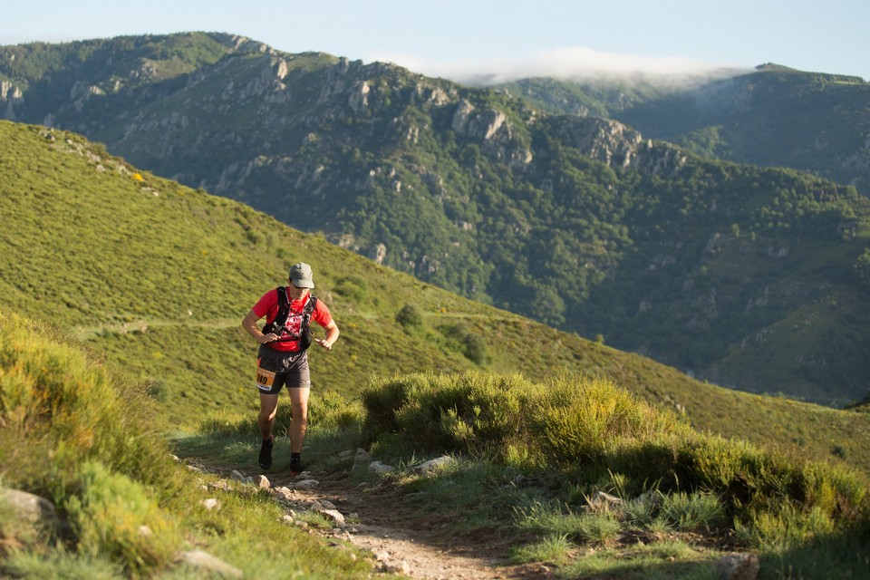
Krediet: Coureur en plein effort sur le parcours de la Gravenne - S.Bugnon_ASV
Beschrijving
The route is signed with some brochures on wooden pannels. The markings can only be seen in the running directon.

- Vertrek : Thueyts’s church
- Aankomst : Thueyts’s church
- Doorlopende gemeentes : THUEYTS en MONTPEZAT-SOUS-BAUZON
Weerbericht
Hoogteprofiel
details.vigilance
Aanbevelingen
The loop is signed all along the route with trail brochures. Follow the green light signs.
Informatiepunten

2 place du Bosquet, Neyrac les Bains, 07380 Meyras
Toegang tot de weg en parkeren
From Aubenas take the Puy en Velay direction and continue the N102 to Thueyts village.
Parkeren :
Car park on Thueyts village square.
Een probleem of fout melden
Als u een fout op deze pagina heeft opgemerkt of u bent een probleem tegen gekomen tijdens uw wandeling, kunt u dit hier aan ons melden: