
The mines of Lalevade
Attention : cet itinéraire est concerné par au moins une zone de vigilance élevée. Consultez la section « Zones de vigilance » pour en savoir plus sur les risques et conditions de praticabilité de vos activités.
{count, plural, =0 {Gekoppeld document}} one {Gekoppeld document} other {Gekoppelde documenten}}
- Downloadjpg
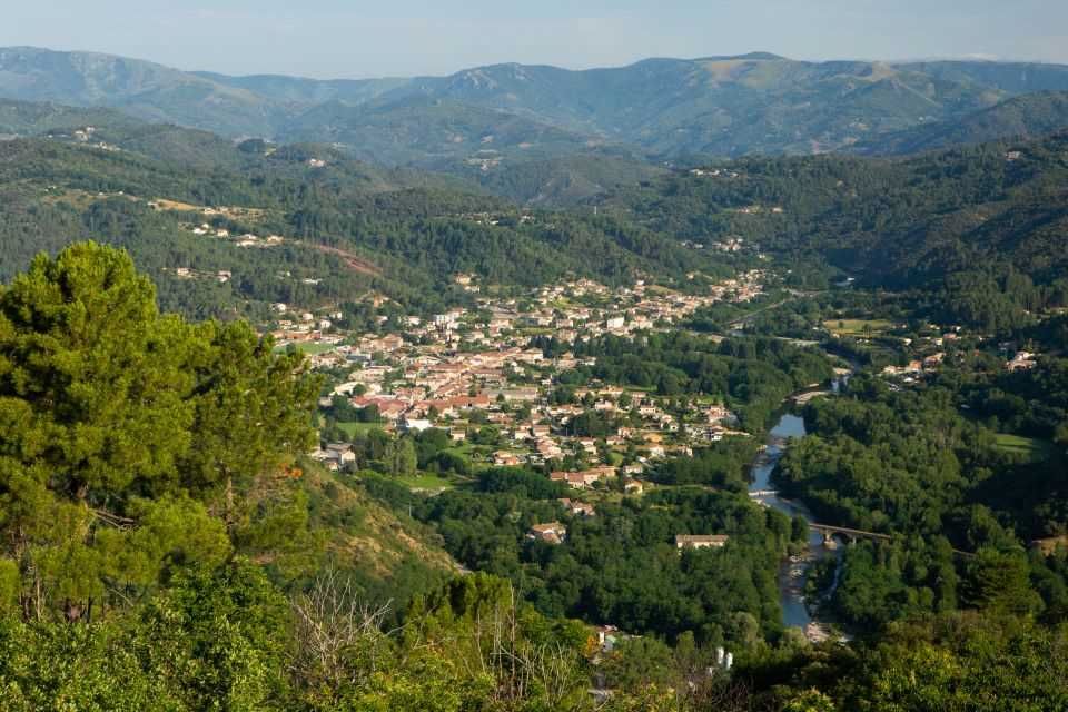
Lalevade vue générale
Krediet: Lalevade vue depuis le Col de Farges - S.Bugnon
Beschrijving
Departure at the sign "INFO RANDO", on the square of the town hall.
1 Go up the street and turn left towards the rue des écoles to the stadium
2. Go up the street that runs along the stadium, pass in front of the barracks of
the fire station.
3. Shortly after, leave the road to take the track on the left that engages in
pines and then chestnut trees. You will observe a very beautiful panoramic
view of the Salyndre valley and the village of Prades. Continue up the trail to
the hiking post Martinesche.
4. You are in Martinesche, follow the trail on the right. Continue the path to
rejindre the hamlet of Terrisses.
5. Cross it from the left and take the trail on the right. Pass in front of the
cemetery
6 At the intersection of Rue des Écoles, turn right. Walk past the church and
reach the starting point.
- Vertrek : Car park of the city hall
- Aankomst : Car park of the city hall
- Doorlopende gemeentes : LALEVADE-D'ARDECHE en PRADES
Weerbericht
Hoogteprofiel
details.vigilance
Aanbevelingen

Informatiepunten

2 place du Bosquet, Neyrac les Bains, 07380 Meyras
Toegang tot de weg en parkeren
Aubenas, take the N102 to Lalevade d''Ardèche. Thueyts, take the N102, cross Pont-de-
Labeaume then Lalevade d'Ardèche.
Parkeren :
Een probleem of fout melden
Als u een fout op deze pagina heeft opgemerkt of u bent een probleem tegen gekomen tijdens uw wandeling, kunt u dit hier aan ons melden: