La Gravenne de Montpezat
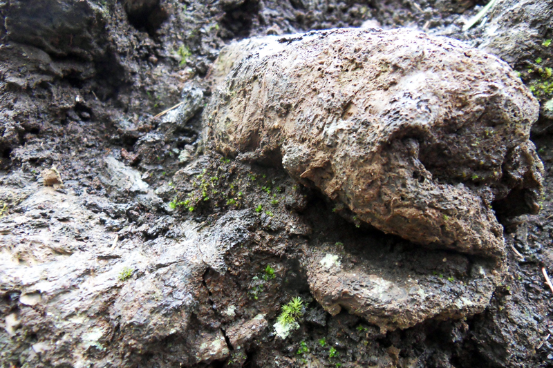
With its height of 807 m, the Gravenne de Montpezat volcano divides the Merdaric and Fontaulière valleys. It offers a shaded walk among trees, up to the heart of the Croze crater. If the feeling of being on a volcano, and then in a crater, is there only thanks to the scoriae, volcanic bombs and a few outcrops, the fertile volcanic soil and the afforestation that took place in the XIXth century to fight erosion give this walk a forest atmosphere both pleasant and rare in the Ardèche.
Description
- From the parking lot, after 500 m on this path, you will find a board on your right giving the route of the discovery walk and a few details about it. There, you will also find an intersection.
- Take the path on your right. You will see a sign "Sentier de la Gravenne"
- At the crossways 500 m away, take the path on the left.
- At the intersection Walk on this track up to the panorama, then retrace your steps. Back at the intersection, go straight ahead to the center of the crater.
- At the crossroads again take a very narrow path on your left in the brush.
- Continue up to an intersection, turn left as indicated on the sign.Continue on this path until you see the sign indicating the end of the walk.
- Go up the wooden stairs up to an intersection with a wider road.
- Turn right and you will be back at the first big board (on your left). You will get back to your car on the parking lot simply by following this path for 1 km.
- Departure : From the parking lot, reach the Geo totem pole, pass the barrier and take the path.
- Towns crossed : THUEYTS and MONTPEZAT-SOUS-BAUZON
Forecast
Altimetric profile
Recommandations
Parcours en forêt domaniale de la Fontaulière, pas de points d’eau sur l’itinéraire et feu interdit.
Access and parking
From Thueyts, take the road starting in front of the Gueule d'Enfer (hell's mouth) belvedere (Montpezat's route touristique). Follow it up to the Le Prat crossroads, where you will see a cistern on your left. Take the road on the left up to the parking lot.
From Montpezat, just after the bridge on the Fontaulière River, take the Croix de Pourcherolles road (in the direction of Thueyts). Follow the road up to a cistern where you will turn right. At the end of this road you will find space to park your car.
Parking :
Report a problem or an error
If you have found an error on this page or if you have noticed any problems during your hike, please report them to us here:
